Many landscapes in one territory
Panama connects North and South America and brings together jungles, mangroves, reefs, mountains, and Caribbean and Pacific coasts. Distances may be short, but each region offers very different conditions.
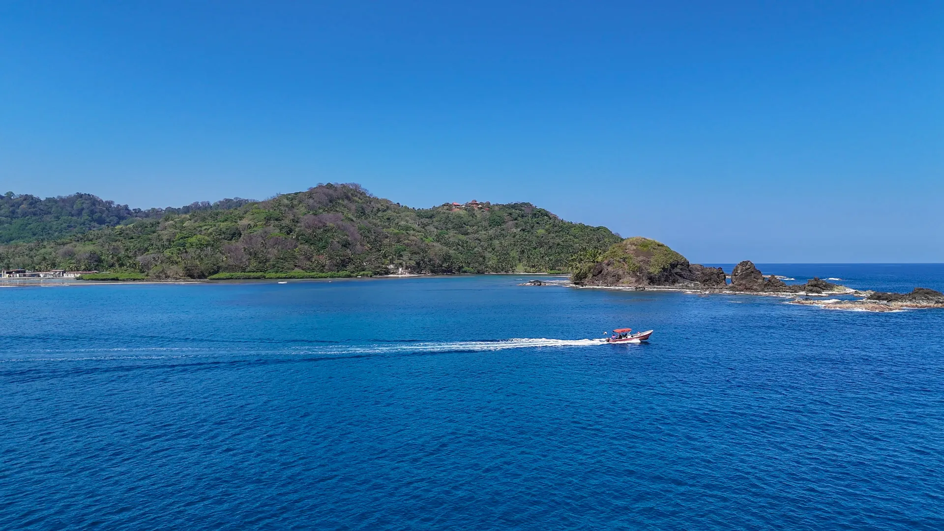
Before choosing a place, learn how landscapes, climate, culture and travel conditions change from one region to another.
Panama connects North and South America and brings together jungles, mangroves, reefs, mountains, and Caribbean and Pacific coasts. Distances may be short, but each region offers very different conditions.
Panama’s history can be explored through colonial routes, historic towns, fortifications, archaeological sites, the Canal and communities that maintain their own cultural expressions.
Each region has its own flavors, rhythms, celebrations, crafts and ways of relating to the land. Discovering Panama also means approaching the people who shape each place with respect.
You can combine city, beach, mountains, culture, nature and adventure. The key is choosing a realistic route based on your interests, available time and each region’s conditions.
Good planning helps you estimate travel times, adapt to the weather and enjoy each region with greater peace of mind.
Follow this order to define your route first, then confirm the details that depend on your destination.
Conditions are not the same throughout Panama. The Pacific, Caribbean, highlands and rainforest areas can have very different climates, access and travel times.
A short distance on the map does not always mean a quick transfer. Traffic, ferries, rural roads, weather and available connections can extend the journey.
Before visiting Indigenous territories, protected areas, distant islands, border regions or complex-access trails, check local rules and whether you need a guide, permit, reservation or prior coordination.
Cards and digital payments are not available at every destination. Carry small-denomination cash, especially when traveling to communities, islands or rural areas.
Entry, health, transport and access conditions may vary according to your nationality, destination and activity. Check current information and official sources before confirming your trip.
Check the validity of your passport or identity document and the requirements that apply to your country of origin.
Review current health recommendations and consider coverage suited to your itinerary and planned activities.
Confirm which payment methods your destination accepts and carry cash when traveling to areas with limited connectivity or banking services.
Allow extra time and confirm schedules for domestic flights, buses, ferries, boats or coordinated transport.
Mobile coverage may decrease on islands, in mountains, rainforests and remote communities. Save maps, reservations and important contacts in advance.
Ask directly about terrain, transport, facilities and available assistance when you require physical accessibility or specific support.
Learn the rules of protected areas and the communities you visit. Ask permission before photographing people, ceremonies, homes or culturally significant spaces.
Save emergency numbers, your accommodation details and the contacts of the operator or guide responsible for the activity.
This guidance is general and does not replace current information from authorities, transport providers, protected areas or local communities.
Heat, humidity, rain and changing terrain make lightweight, functional luggage adapted to your planned activities a sensible choice.
This list is a general reference. Adapt it to your destination, season, trip length, planned activities and personal health needs.
Use these periods as general guidance based on typical patterns. Before booking outdoor activities, confirm the forecast, sea conditions, access conditions and local recommendations.
Temperatures and rainfall levels are approximate and do not represent a forecast. Conditions may vary each year and even within the same region.
Region 01
Clear dry season, rains from May to November
From this region you can combine city tours, the Panama Canal, Casco Antiguo, the Amador Causeway and various excursions toward the Central Pacific.
Indicative monthly rainfall pattern
Region 02
Humid Caribbean with frequent rain and quick changes
Rain and sea conditions can change quickly. Confirm conditions before visiting Portobelo, the historic fortifications, Isla Grande or arranging boat transfers.
Indicative monthly rainfall pattern
Region 03
Drier on the coast; cooler and wetter in the mountains
The region allows you to combine beaches, markets, mountains, waterfalls, viewpoints and trails. Temperature and rainfall can vary considerably between the coast and higher elevations.
Indicative monthly rainfall pattern
Region 04
Cool year-round, moderate rain
Its cooler temperatures favor visits to coffee farms, trails, rivers, viewpoints and mountain communities.
Indicative monthly rainfall pattern
Region 05
Tropical Pacific, with rainy afternoons during green season
Before heading to Boca Chica, the islands or fishing and whale-watching areas, confirm tides, swell, weather conditions and the availability of boat transport.
Indicative monthly rainfall pattern
Region 06
Humid Caribbean, variable rain
Rain can occur year-round. Confirm swell and boating conditions before arranging inter-island transfers, beach visits or reef activities.
Indicative monthly rainfall pattern
Region 07
Less rain during dry season
Coordinate your trip with authorized operators or representatives, pack light and carry cash, and check the rules set by the comarca’s communities and authorities beforehand.
Indicative monthly rainfall pattern
Region 08
The driest area of the country
The region brings together traditions, food, celebrations, rural landscapes and Pacific beaches. During the driest months, temperatures can rise and sun exposure increases.
Indicative monthly rainfall pattern
Region 09
Humid Pacific, with more changeable seas during rainy season
The region allows you to combine mountains, coastlines, surfing, diving and visits to the Coiba area. Factor in travel times and confirm sea conditions before excursions.
Indicative monthly rainfall pattern
Region 10
Very humid, especially May to November
Visiting remote areas of Darien requires advance planning and local coordination. Check the access routes, permits, route conditions and safety recommendations that apply to the specific place.
Indicative monthly rainfall pattern
Entry requirements, health recommendations and weather conditions can change. Use these links to review current information before traveling.
Content last reviewed: July 21, 2026.

Explore regions, understand their differences and find places that suit your time, interests and way of traveling.
We use analytics cookies to understand which content is most useful and improve the site. They are enabled only if you accept them, and you can change your choice here. Read our privacy policy.
Analytics cookies
They are optional and help us improve the content.