
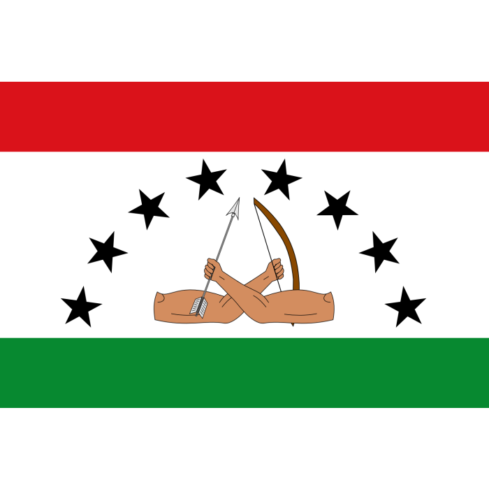
 Comarca
History
The upper Chucunaque basin and the river corridors of eastern Panama belong to a Guna territorial history far older than the comarca: the Chucunaque and the Sogubdi, or Sucurtí, have served as landscapes of settlement, movement and production for the Guna people of the eastern isthmus. During the twentieth century, the pursuit of legally recognized territory became a long-term political process, with advocacy by Wargandí leaders documented since mid-century. The demand grew more urgent with the extension of the Pan-American Highway into Darién during the 1970s, which facilitated new migration, agricultural expansion and logging across parts of the Chucunaque basin. Law 34 of July 25, 2000 created the Guna de Wargandí Comarca from areas separated from the districts of Chepigana and Pinogana. The law recognized collective ownership of its lands, established the General Congress as the highest traditional authority alongside local congresses, caciques and sáhilas, and prohibited intensive logging and activities incompatible with biodiversity conservation. Executive Decree 414 of 2008 adopted its Administrative Organic Charter. Wargandí's recent history joins territory and self-government: agriculture and subsistence depend on rivers and forests, cultural continuity on the transmission of language and knowledge, and conservation on the practical capacity to govern the territory amid external pressures.