Barú Volcano
Photograph by Franco
Chiriquí 7°C · Overcast

Barú Volcano

Mountains and viewpoints
Back to Destinations
Province Chiriquí

Practical information

The essentials for planning your visit.

Duration Full day
Difficulty Difficult
Best time December, January, February, March
Price Tours, guides, transportation and 4x4 summit services have costs separate from park admission.
Suggested vehicle 4x4
Destination guide

About this place

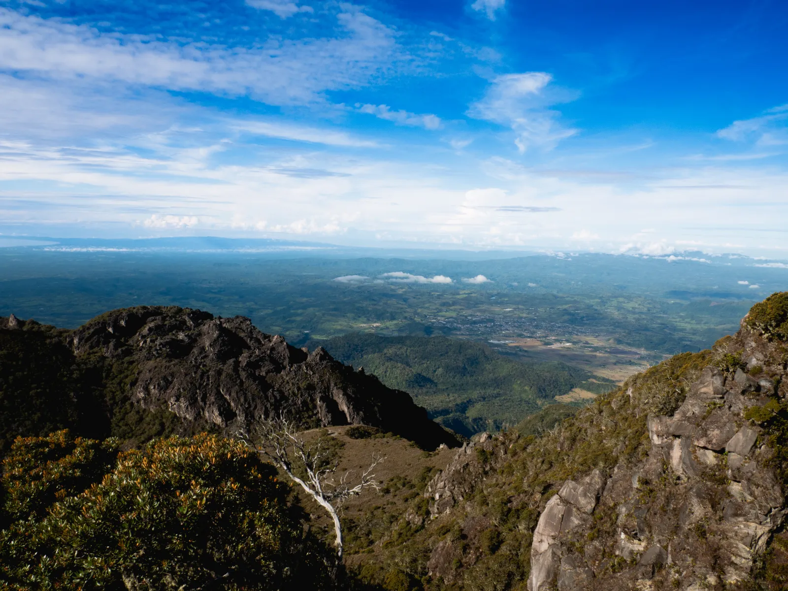
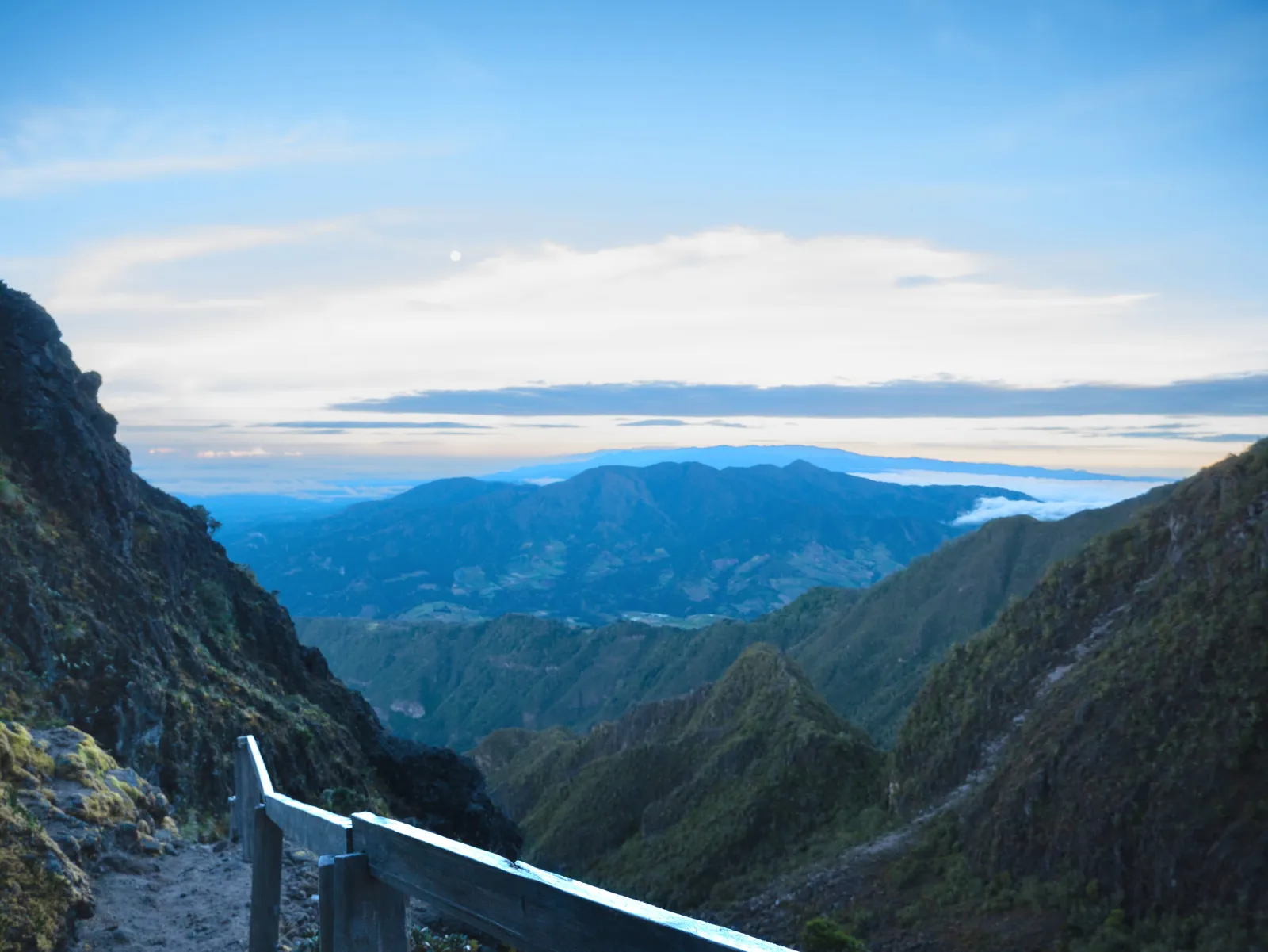
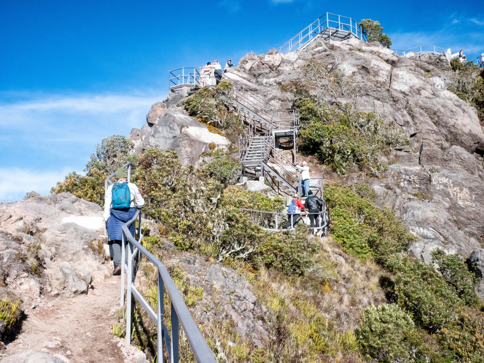
The landscape changes throughout the ascent: mountain forests gradually fall behind as the terrain becomes more open, rocky and exposed, eventually reaching the summit of Panama's highest point at about 3,475 meters above sea level. Barú Volcano offers a high-mountain experience that is unusual in the country, with broad panoramic views and weather conditions capable of transforming the surroundings within minutes. On exceptionally clear days, views may extend toward both the Pacific and Caribbean sides, although visibility is never guaranteed. Telecommunications infrastructure is also present at the summit, so the natural landscape shares the mountaintop with technical installations.

Understand the place

History

Barú is a complex stratovolcano whose evolution includes eruptive episodes, lava-dome formation and a major collapse of the volcanic edifice about 9,000 years ago. Geological and archaeological evidence shows activity during periods of human occupation in the Chiriquí highlands. An explosive eruption around AD 700 affected the Cerro Punta area, while scientific records place its last known eruption at approximately 1550. The volcano's natural surroundings received formal protection in 1976 with the creation of Volcán Barú National Park.
Culture

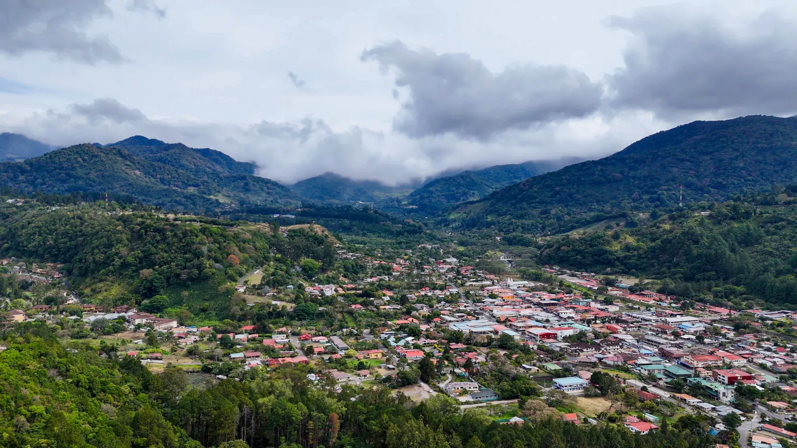
Barú Volcano is a defining landmark in the Chiriquí highlands and is closely associated with communities such as Boquete, Volcán and Cerro Punta. The surrounding region has a strong agricultural and rural identity, linked among other activities to coffee cultivation. These cultural expressions belong to the broader regional context rather than exclusively to the volcano or its summit.

Climate

Its high elevation makes conditions considerably colder than Panama's lowlands, especially before sunrise and at higher elevations. Wind, fog, humidity, rain and rapidly changing visibility may occur. The mountainous areas of Chiriquí are among the coolest parts of the country. For hiking and panoramic views, December through March are a practical choice because they generally fall within the relatively drier period, although clear skies and stable conditions are never guaranteed.

Area and surroundings

High-altitude mountain terrain with sustained slopes, uneven roads and sections exposed to wind, fog and rapidly changing weather. The ascent passes through forested and cloud-forest areas, while terrain near the summit becomes more open, rocky and less naturally sheltered. The route requires physical effort and preparation for high-mountain conditions.

Nature

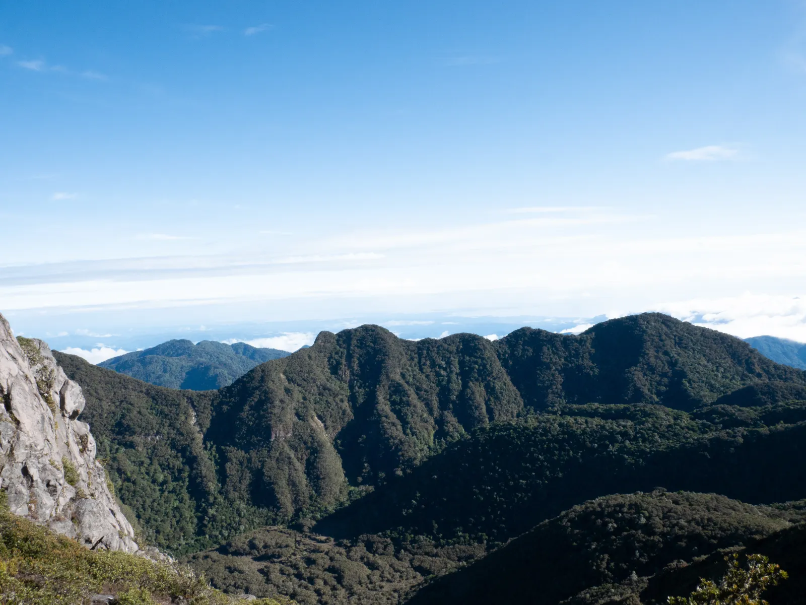
Barú Volcano lies within a protected mountain landscape where natural environments change with elevation. Cloud forests and species such as resplendent quetzals, several hummingbirds, pumas, frogs and orchids have been documented in different parts of Volcán Barú National Park. Lower forested areas offer a different setting from the more open and exposed summit terrain. The presence of these species within the park does not mean they will necessarily be seen during a summit ascent.

Practical tips

Check the weather forecast and MiAMBIENTE advisories before beginning the ascent. If hiking, wear footwear suitable for uneven terrain and carry enough water, food and protection from cold, wind and rain. The combination of distance, elevation gain and altitude requires good physical condition. Be prepared for sudden weather changes and do not rely on finding clear summit views. Follow park ranger instructions and respect any temporary closures. If traveling by vehicle, use authorized 4x4 tour services and confirm route conditions beforehand.

How to get there

The most commonly used route to the summit begins in the Camiseta sector of Boquete. It can be traveled on foot and is also used by authorized tour operators with 4x4 vehicles. The road to the summit is approximately 12.6 km each way, involves a sustained climb and crosses uneven and exposed sections, so attempting the ascent in a conventional vehicle is not recommended. Volcán Barú National Park also has entrances from Tierras Altas, including the Los Llanos sector, but these should not be confused with the usual summit route. Road conditions may change because of rainfall, maintenance, special activities or temporary closures. Before traveling, visitors should confirm access conditions and any current restrictions with MiAMBIENTE.

Opening hours

Access is controlled by MiAMBIENTE and may be affected by weather, maintenance, special activities or temporary closures.

Geographic location

Open in Google Maps

Tags

Hiking Mountain Photography Volcano National park Cloud forest Adventure
Nearby

More destinations in Chiriquí

Bajo Boquete
Chiriquí 🚙 Sedan & SUV

Tourist site

Bajo Boquete

Cool air, the sound of the Caldera River, and the mountains surrounding the valley shape the arrival in Bajo B...

Towns and communities
View details
PanamAdventure

Rate this destination

Share your experience at Barú Volcano

How would you rate your experience? *