History
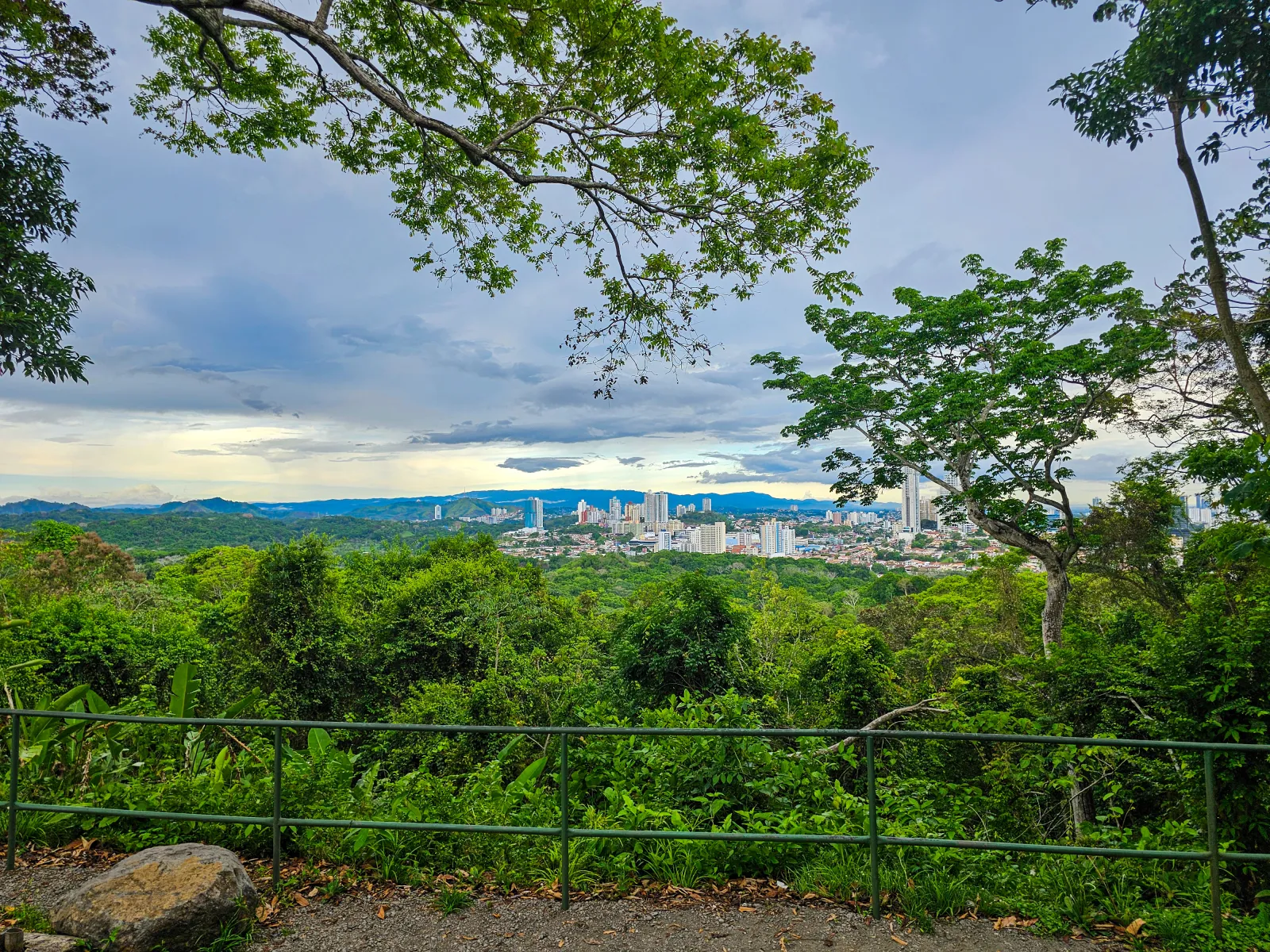
Cerro Azul’s identity developed around the eastern highlands of Panama District, where communities, residential areas, and forested landscapes meet the Chagres watershed. Its tourism history is not centered on a single monument, but on the way the mountain environment became a place for residence, recreation, research, and contact with nature.
The area also holds scientific value. Geological studies have examined the Cerro Azul pluton and its relationship to the formation of the isthmus, while biological research has documented amphibians, lizards, and snakes in cloud-forest habitats and the Alto Chagres sector. This work shows that the destination’s importance lies not only in its views but also in the natural processes that shaped the territory.
Its proximity to Chagres National Park has strengthened Cerro Azul’s environmental relevance. However, not all of Cerro Azul lies within the protected area: the name covers communities, properties, and sectors under different forms of administration. Recognizing that territorial diversity prevents the broader destination from being confused with a park, a residential development, or one specific attraction.
Culture
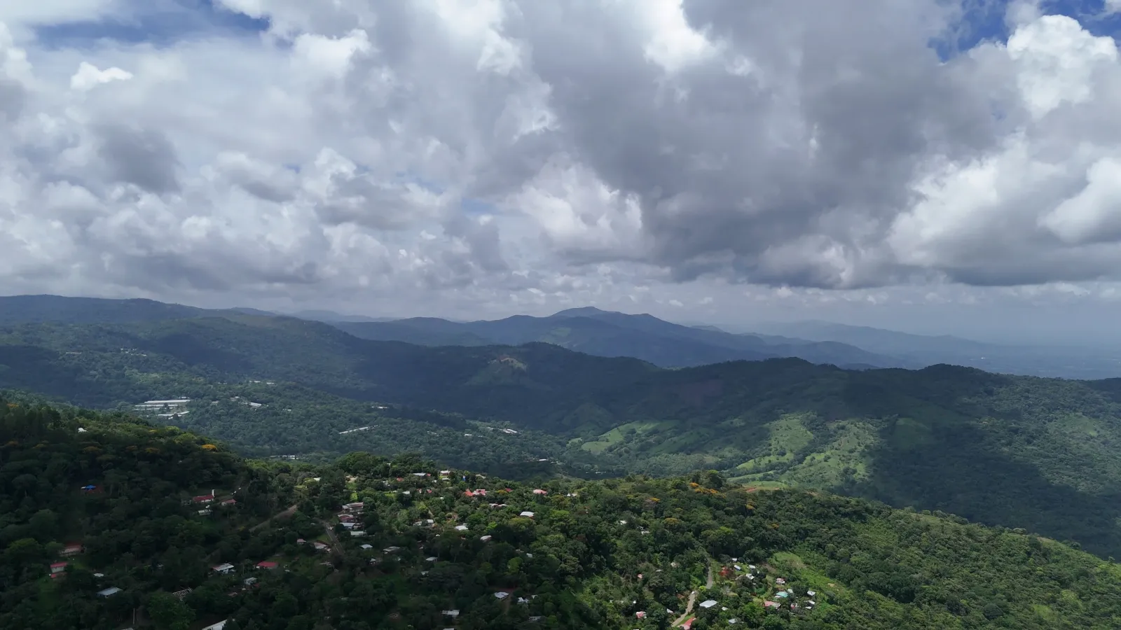
Cerro Azul is experienced through communities and sectors with distinct identities. Altos de Cerro Azul combines residential life with a mountain setting; Rancho Café belongs to the highlands of the 24 de Diciembre corregimiento; and La Tranquilla is associated with nature activities near Chagres National Park. These names are more than map references: they show that this is an inhabited destination where tourism takes place within everyday community life.
Lodgings, farms, and local service providers are part of the tourism experience, especially for quiet getaways, birdwatching, and guided outings. Each establishment sets its own conditions, so reservations should be made directly and property boundaries respected.
Visitors should approach the territory with discretion. Cerro Azul is not an entirely open recreational park: it includes homes, community roads, protected areas, and private properties. Greeting residents, keeping noise low, asking before photographing people, and following local guidance are simple ways to visit respectfully.
Climate
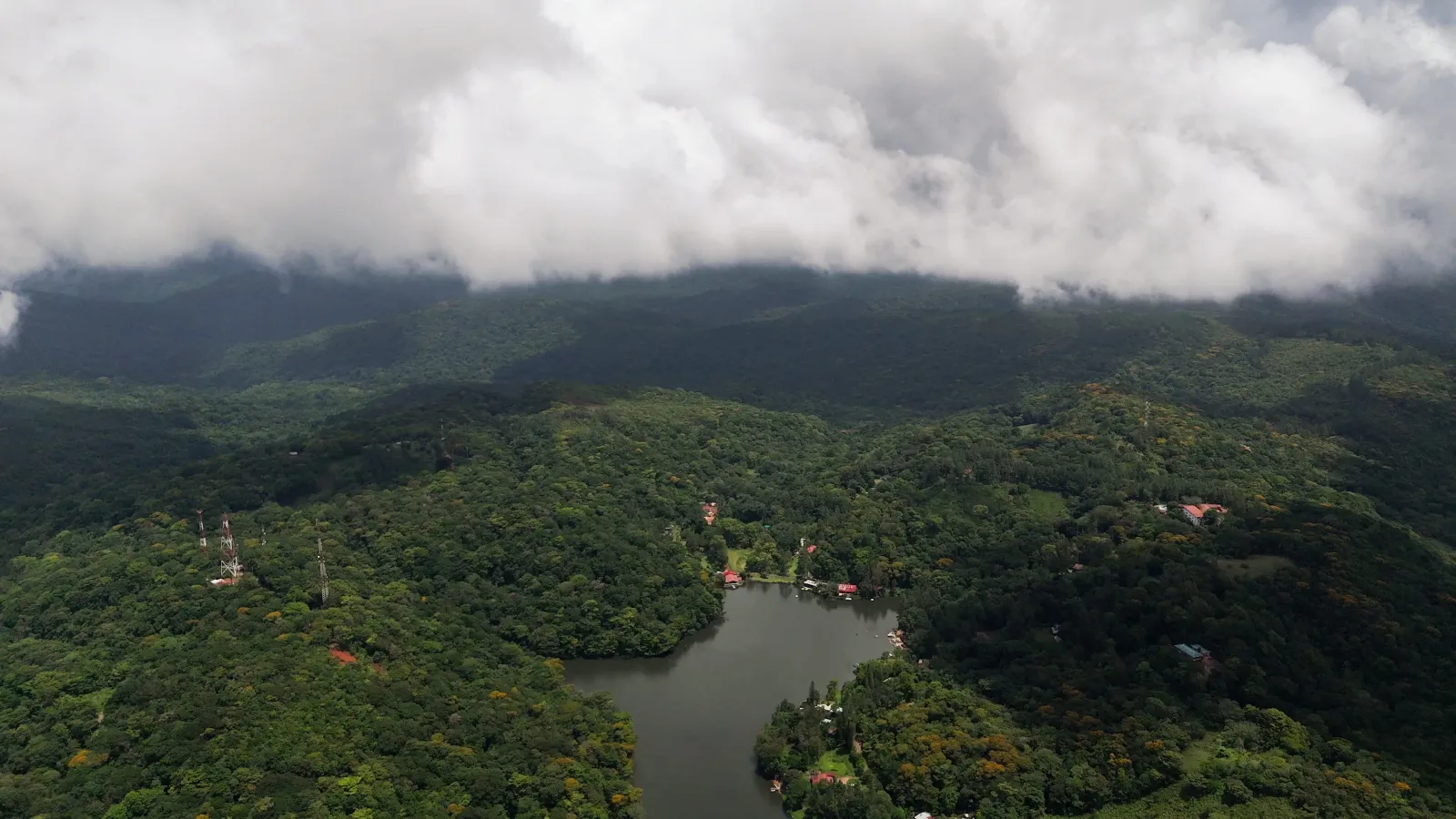
Elevation, moisture, and forest cover can make Cerro Azul feel cooler and more changeable than the lower parts of the city. Mist may settle over the slopes, while rain can alter visibility, trail conditions, and the surface of secondary roads.
Cloud-forest environments and habitats near streams respond directly to rainfall. Wet periods may bring mud, soaked vegetation, and reduced visibility; on clearer days, scenic drives and landscape observation are easier. Showers can still occur during months that are usually less rainy.
Cerro Azul can be planned as a year-round destination as long as the visit is adapted to the forecast and the conditions of the chosen sector. For outdoor activities, check the weather on the same day and confirm with the site manager whether rain has affected access.
Area and surroundings
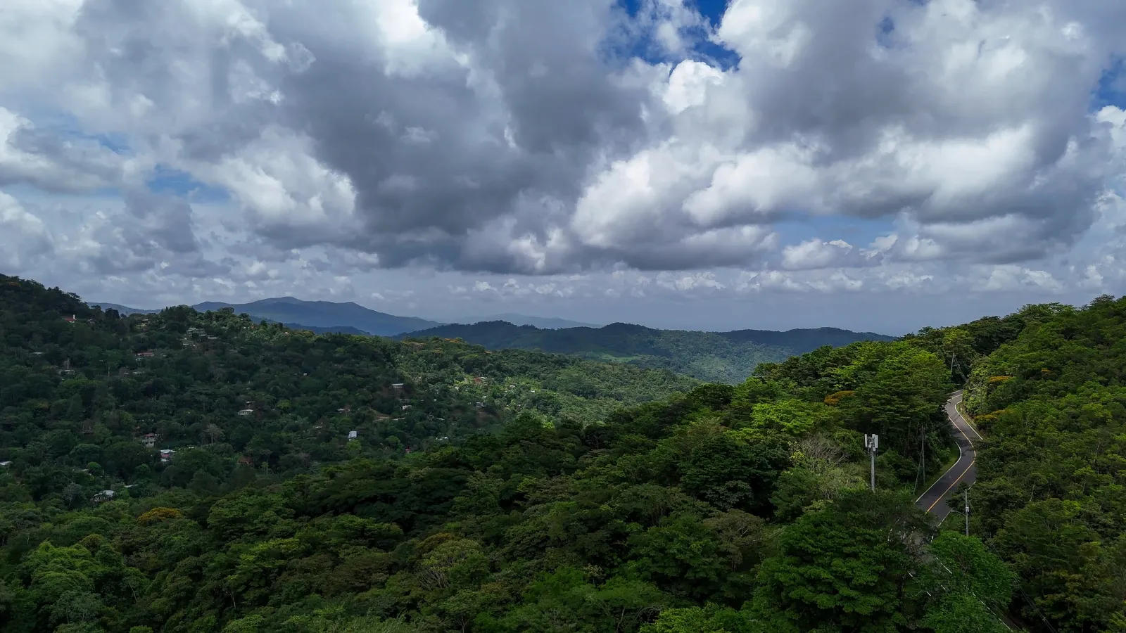
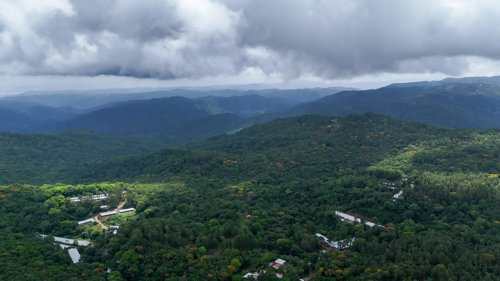
Cerro Azul operates as a broad, dispersed mountain area rather than an enclosed site with a single entrance. Its landscape brings together mountain roads, communities, homes, lodgings, farms, and forested areas across sectors associated with Pacora, 24 de Diciembre, and Caimitillo.
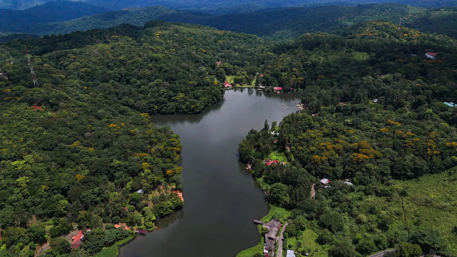
Altos de Cerro Azul is one of the most recognizable residential sectors; Rancho Café and La Tranquilla are specific communities or areas; and the connection with Chagres National Park becomes clearer around managed trails and conservation zones. Cerro Jefe and Lago Cerro Azul should be treated as particular places within the wider region, not as interchangeable names for the destination.
Services are spread out, and there is no single tourism center concentrating parking, information, food, and activities. Planning should therefore be based on the exact place you intend to visit.
Nature
Cerro Azul’s natural character is defined by the transition into humid mountain environments. Cloud forest, vegetated slopes, and riparian habitats create conditions unlike those of the lowlands and support notable biological diversity.
Birdwatching is one of the area’s best-known nature experiences. Research has also documented amphibians, lizards, and snakes in sectors connected with Cerro Azul and Alto Chagres. These records confirm ecological richness, but they do not mean that any particular species will appear on every visit.
Moisture, rainfall, streams, and vegetation are closely connected: changes in precipitation also affect wildlife activity, visibility, and trail conditions. Moving quietly, staying on established paths, and not handling animals allows visitors to appreciate the forest without disrupting its processes.
 Panamá