Piña
Photo: PanamAdventure editorial
Colón 26°C · Moderate drizzle

Piña

Beaches and islands
Back to Explore
Province Colón

Practical information

The essentials for planning your visit.

Duration Half day
Difficulty Easy
Best time February, March, April
Price No general admission fee for the village or beach was confirmed. Private services such as transportation, food, lodging or guides may have separate costs.
Suggested vehicle Sedan & SUV
Destination guide

About this place

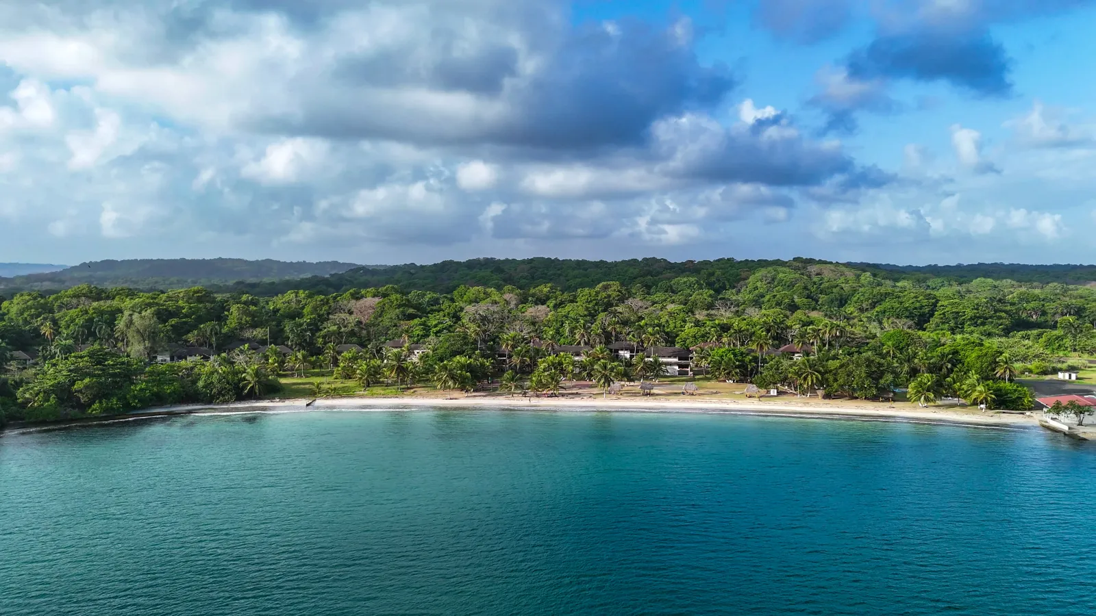
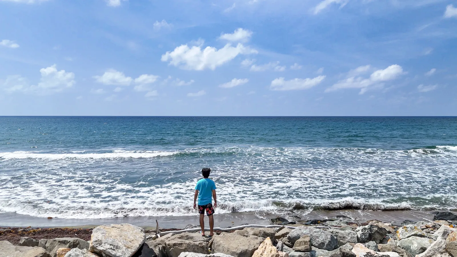
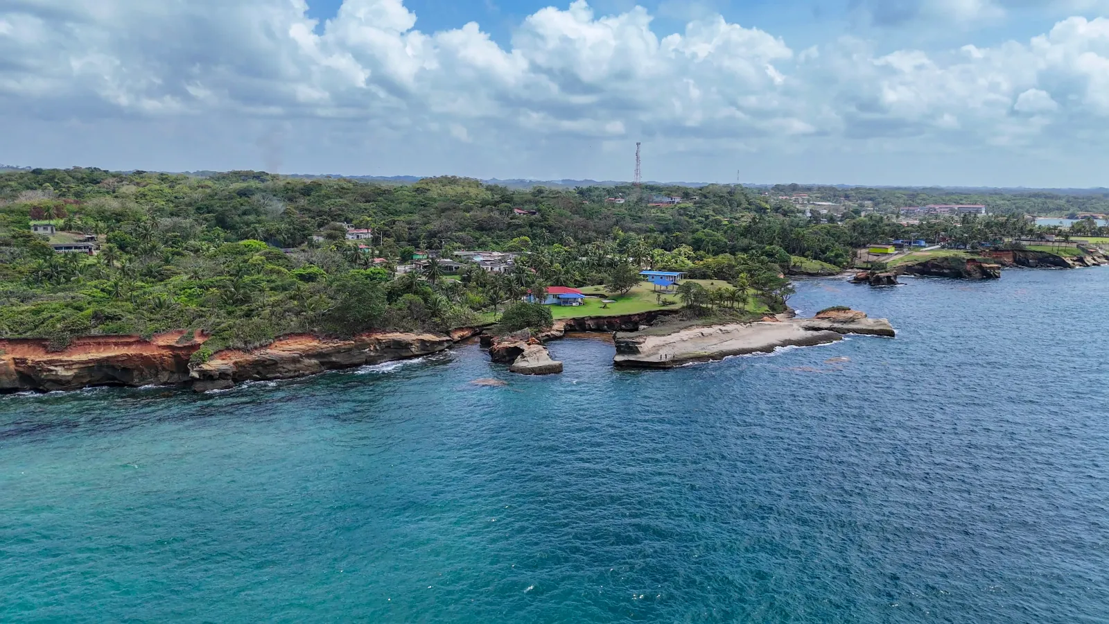
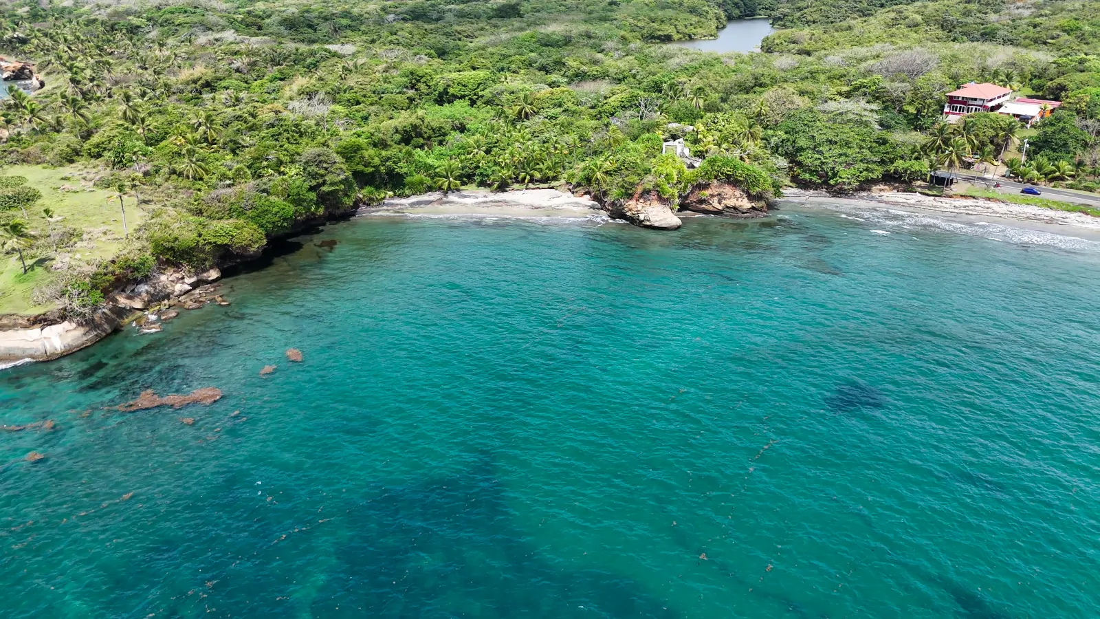
The Caribbean shapes much of the experience in Piña, a coastal community where the beach, waterfront and the mouth of the Piña River form part of the everyday landscape. A visit offers time to walk through the village, spend time by the sea, watch the sunset and experience a setting where artisanal fishing, seafood-based local cooking and community life remain visible. Piña is best understood as a living coastal village rather than an isolated beach: the landscape and the community are part of the same experience.

Explore the place

Image gallery

Understand the place

History

Piña has its own administrative identity as a corregimiento within the Chagres district of Colón Province. National census records show a community that has been established for decades with continued settlement. Community sources traditionally commemorate September 29 as its founding anniversary and associate that tradition with 1905, although no primary legal document was located during verification to present that date as the official administrative creation of Piña.
Culture

Local identity is connected to Afro-Colonense traditions and community practices that remain active today. Panama's Ministry of Culture has specifically documented the Congo Nengres de Piña de Colón as part of efforts to safeguard Congo culture. Artisanal fishing is also part of local life; recent sources describe the traditional use of seine nets and a cuisine closely tied to fish, crab, octopus and other seafood. These practices are part of community life and should not be understood as performances available at all times.

Climate

Piña lies on Panama's Caribbean side within the humid environment typical of Colón's Costa Abajo. No public weather station specific to the village was identified, so seasonal guidance is based on regional patterns. March generally brings a relative decrease in rainfall on Panama's Caribbean coast, making February, March and April a reasonable period for beach time, outdoor walks and enjoying the scenery. Rain, wind and changing sea conditions can still occur during these months.

Area and surroundings

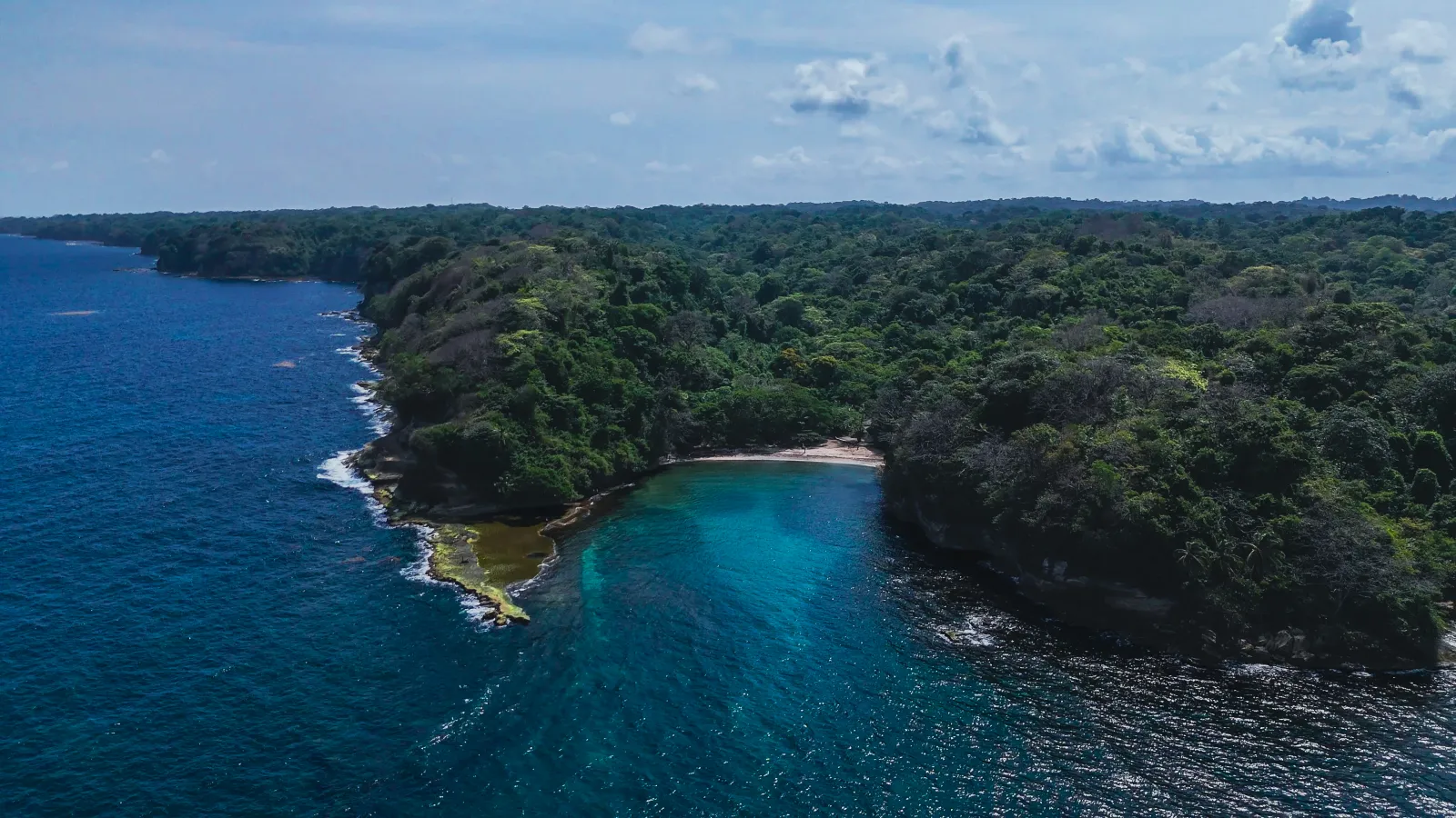
A populated coastal area facing the Caribbean Sea, centered on the village of Piña, its beach and the mouth of the Piña River, with tropical vegetation in the surrounding landscape. The corregimiento of Piña covers an administrative area of 29.9 km², although that figure includes territory beyond the visitor-oriented village center.

Nature

The immediate environment combines Caribbean coastline, beach and a river mouth. Panama's Ministry of Environment has documented environmental activities at Piña Beach and, in April 2026, recorded a leatherback sea turtle that appeared to have attempted to nest during the early morning. This confirms the species has reached the beach, but it is not enough to describe Piña as a regular nesting site or to guarantee sightings. Beach conditions may also vary due to natural events such as sargassum accumulation.

Practical tips

Plan your visit during daylight hours and bring water, sun protection and anything you may need for several hours along the coast, as full tourist infrastructure has not been confirmed at the beach. Check waves and local sea conditions before entering the water; permanent lifeguard service and an official assessment declaring the entire beach safe for swimming have not been confirmed. Avoid swimming near the river mouth when rainfall, river flow or water movement creates uncertain conditions. If you encounter sea turtles, tracks or possible nests, keep your distance, avoid direct lights and do not handle the animals.

How to get there

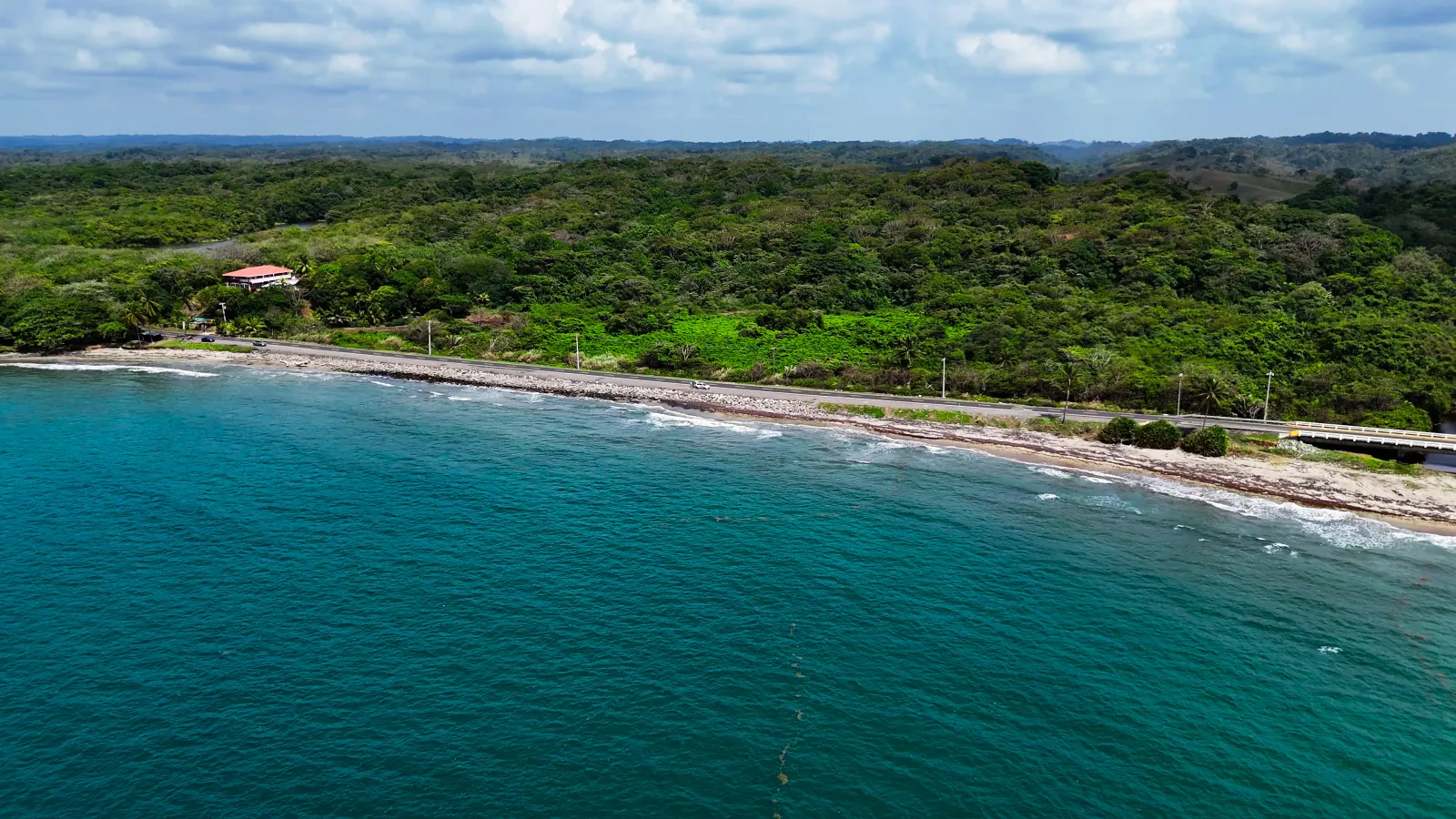
Piña can be reached by road along the Costa Abajo route in Colón, following the corridor that connects Gatún with communities in the Chagres district and Miguel de la Borda. The main road has been rehabilitated, and recent sources describe it as suitable for conventional vehicles under normal conditions. There is no confirmed need for a 4x4 vehicle to reach the village. Public transportation operates along the Costa Abajo corridor, but current official schedules and frequencies have not been sufficiently verified for publication. A formal tourist parking area has not been confirmed either.

Opening hours

Piña is a community and has no confirmed general institutional visiting hours. Daytime is recommended for exploring the beach and waterfront.

Geographic location

Open in Google Maps

Tags

Beach Congo culture Sunsets Costa Abajo Caribbean Sea Artisanal fishing Local cuisine Coastal community
Nearby

More destinations in Colón

Tortuguilla Beach
Colón 🚙 Sedan & SUV

Tortuguilla Beach

The journey begins inside the forest. For approximately 1.5 kilometers, the trail continues through tropical v...

Beaches and islands
View details
Playa Shimmey
Colón 🚙 Sedan & SUV

Playa Shimmey

The road to Playa Shimmey winds through the Sherman sector before opening onto the Caribbean, where the sand,...

Beaches and islands
View details
Portobelo
Colón 🚙 Sedan & SUV

Portobelo

The bay emerges between green hills, with the walls of old fortifications lining its shore—a reminder that Por...

History and heritage
View details
PanamAdventure

Rate this destination

Share your experience at Piña

How would you rate your experience? *