History
The name Shimmey has been documented for several decades. A scientific publication issued in 1973 listed Shimmey Beach among the sandy beaches studied in Panama, based on samples collected several years earlier. This record confirms the age of the place-name, although no reliable source has yet been found explaining its origin or meaning.
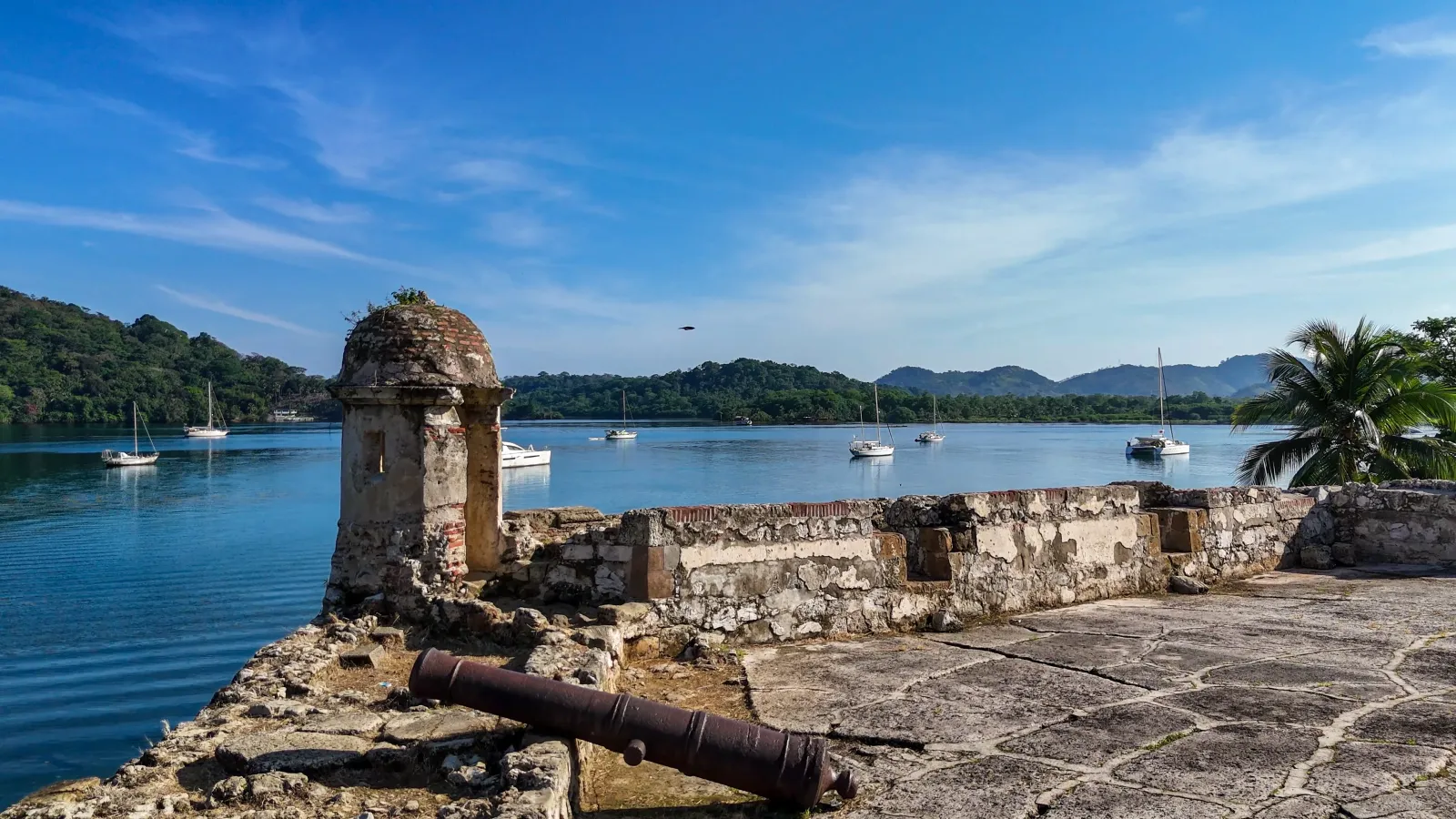
The history of the surrounding area is closely connected to the former Fort Sherman. The beach did not have a separate military base of its own; instead, it became part of the landscape of a large military sector established at Toro Point, facing Limón Bay and near the Atlantic entrance to the Panama Canal. Its position allowed military forces to watch over the maritime approach to the interoceanic waterway, which was considered a strategic location requiring protection from possible naval attacks.
The post was named Fort Sherman in 1911 in honor of United States General William Tecumseh Sherman. Construction of coastal artillery batteries, barracks, housing, and support facilities began soon afterward. The first troops arrived in 1914, while the main compound took shape over the following years. From this sector, large coastal guns formed part of the defensive system protecting the Caribbean entrance to the Canal.
After World War II, the batteries lost their original purpose and much of the heavy artillery was dismantled. In 1951, Sherman entered a new phase as a jungle operations training center. Its forests, humidity, and tropical terrain were used to train soldiers in movement, survival, physical conditioning, and jungle tactics. The center became especially important during the Vietnam War and continued operating under different names until the end of the United States military presence.
The Torrijos–Carter Treaties began the gradual transfer of the former Canal Zone and its facilities to Panama. That process was completed on December 31, 1999. Since then, Sherman has formed part of Panama’s reverted areas, with uses connected to national security, conservation, and tourism planning.
Playa Shimmey therefore retains an indirect but visible connection to that history. Its coastline belongs to a territory that evolved from guarding the Canal’s Atlantic entrance to becoming part of Panama’s heritage and publicly administered recreational landscape.
Climate
Playa Shimmey has a warm and humid tropical climate shaped by its location on the Caribbean coast. Sun exposure can be intense along the open beach, while the surrounding vegetation and nearby mangroves contribute to the area’s humid conditions. Rain may occur at any time of year, including during the relatively drier months.
January through March generally bring lower rainfall around Fort Sherman, offering better conditions for planning a beach visit. This should not be understood as a completely dry season, however, as weather fronts moving south from the Northern Hemisphere can still produce rain between December and February.
Rainy days, sudden weather changes, and thunderstorms become more frequent during the rest of the year. These conditions may affect the road, sea conditions, and access authorization. Before traveling, check the weather forecast and any marine advisories, particularly when heavy rainfall, lightning, or strong winds are expected.
Area and surroundings
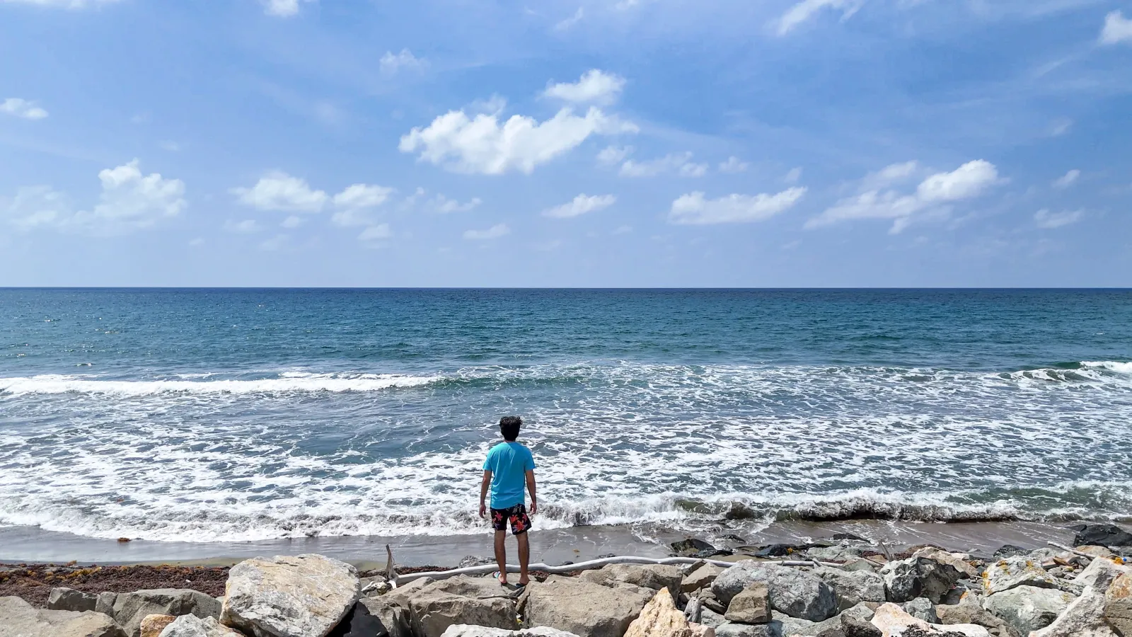
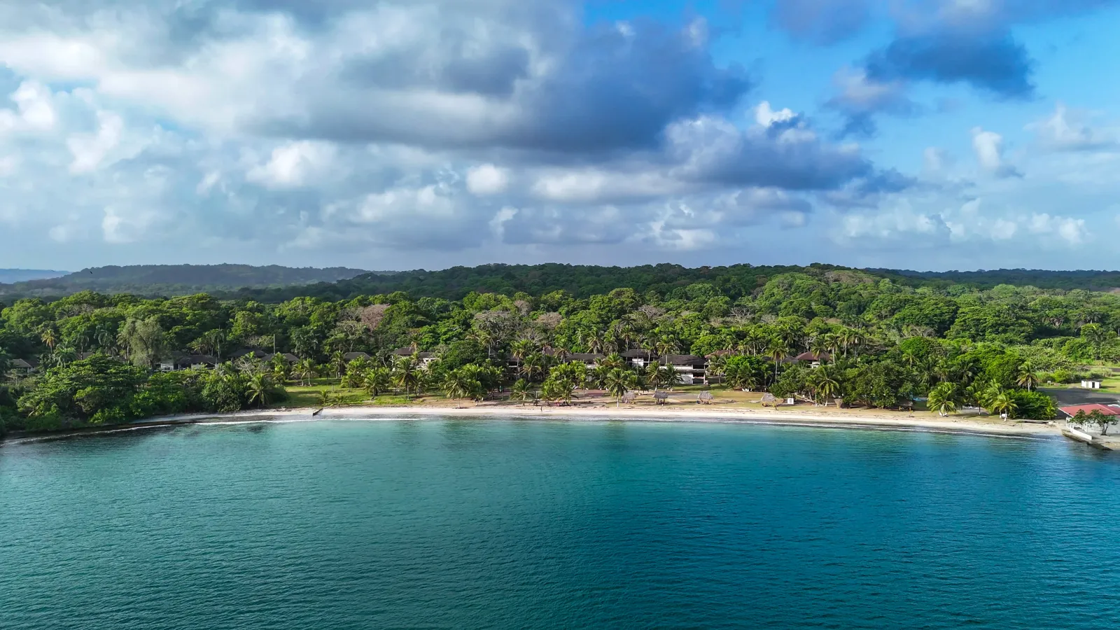
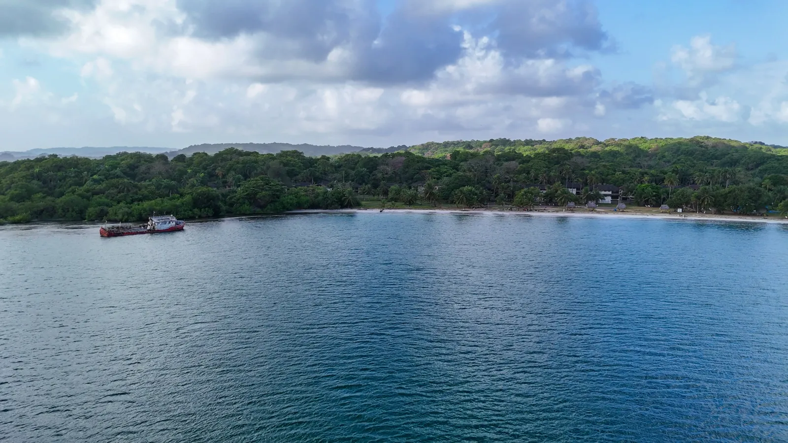
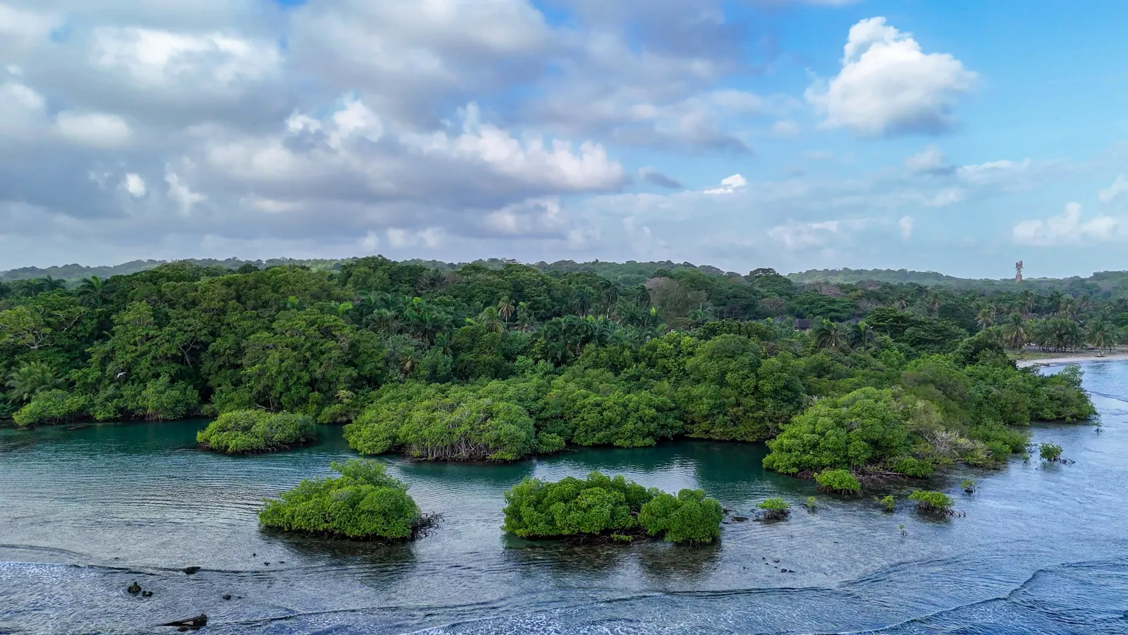
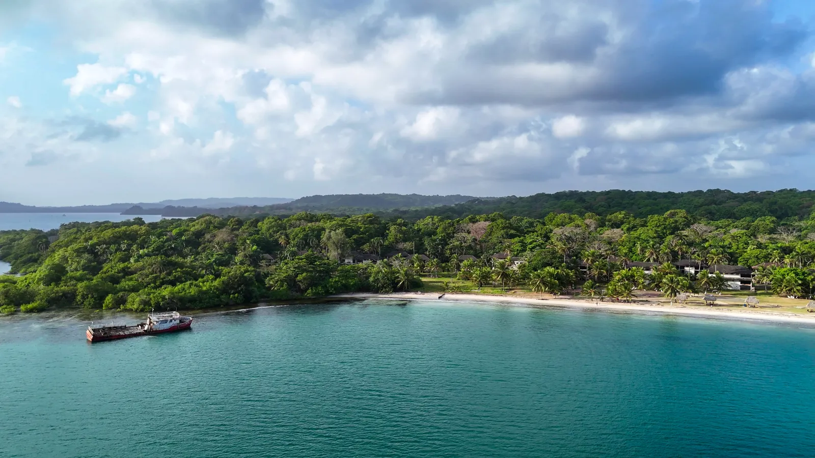
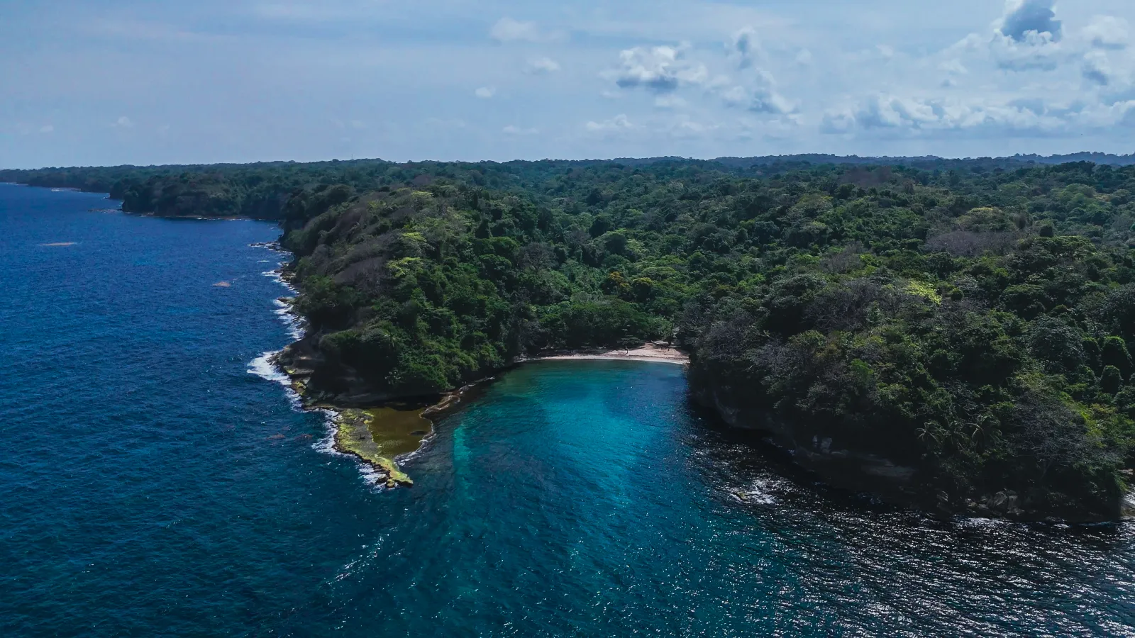
Playa Shimmey forms part of Sherman’s coastal landscape, where the Caribbean shoreline meets tropical vegetation and nearby mangrove areas. These environments create a transition between the beach, coastal wetlands, and the forested surroundings that characterize this part of Colón’s coast.
The area faces the open sea and retains a largely natural setting, surrounded by vegetation and roads crossing the former Sherman sector. Access is by road and requires advance authorization, making the journey through this landscape part of the approach to the coast.
Nature
Playa Shimmey forms part of a landscape where the Caribbean shoreline meets tropical vegetation, wetlands, and nearby mangroves. Red, black, white, and button mangroves have been documented across the broader Sherman and San Lorenzo area. These trees are adapted to saline soils and changing water levels, while their roots help stabilize the coastline and provide shelter for fish, crustaceans, and other organisms during the early stages of their lives.
The forests and wetlands surrounding Sherman support diverse wildlife, with records of resident and migratory birds, mammals, reptiles, and amphibians. Shorebirds and smaller animals may also use the coastal vegetation, sand, and mangrove habitats for feeding and shelter. These records describe the broader Sherman landscape and should not be interpreted as a guarantee of wildlife sightings at Playa Shimmey itself.
The natural experience changes with the time of day, tides, and surrounding conditions. Watching wildlife from a distance, avoiding entry into mangrove areas, never feeding animals, and removing all waste help visitors enjoy the beach without disturbing the ecosystems around it.
 Colón
Colón