History
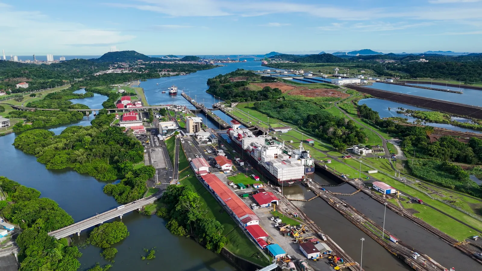
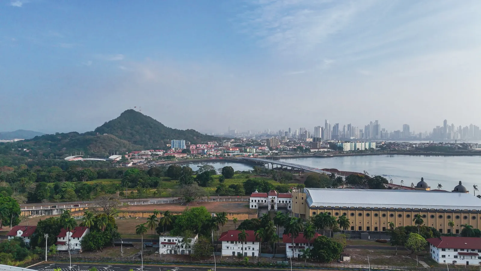
The causeway's story is woven into that of the Canal. In the early twentieth century, completing the interoceanic waterway meant excavating millions of tons of rock at Culebra Cut, and that material was used to link three islands off the Canal's Pacific entrance —Naos, Perico and Flamenco— together with Culebra. The work is most often dated to 1913, under U.S. administration, though official sources place construction within the 1904–1914 span. Those islands, which for centuries had served as points to control maritime traffic, became part of a defensive system: a military complex known first as Fort Grant and later as Fort Amador, fortified to guard the Canal's southern entrance and especially active around World War II. For decades access was restricted within the Canal Zone. Under the Torrijos-Carter Treaties these lands reverted to Panama, and the former military post was transformed into today's recreational promenade, with new buildings and landfill. The name honors Manuel Amador Guerrero, the Republic's first president. Its use is now governed by state decree, which regulates commercial activity in the area.
Culture
The Amador Causeway is, above all, a shared urban space. Residents and visitors come to walk, jog, skate, cycle or simply take in the sea breeze, with crowds especially on weekends and in the early hours. Much of its dining and leisure offering —restaurants serving Panamanian and international fare, shops and marinas— occupies repurposed buildings from the former military base. A standout is the Biomuseo, a natural-history museum about the rise of the isthmus and its biodiversity, designed by architect Frank Gehry —his first work in Latin America— and run by the Fundación Amador. Informal sale of food and drink in non-concessioned areas is prohibited under current regulations; it's best to buy from authorized businesses.
Climate
The promenade is open and exposed, and the weather makes itself felt. Because it's a spit of land over the sea, there's almost always a breeze —pleasant but steady— so plan for it. The sun is strong from early on: with little continuous shade, the midday hours are hot and high in UV. Panama has a tropical climate with a rainy season, when heavy, sudden downpours are common, often in the afternoon, and can cut a visit short; "dry season" does not mean no rain at all. Humidity stays high for much of the year. Given the sea exposure, sunrise and late afternoon tend to be the most comfortable times to walk it.
Area and surroundings
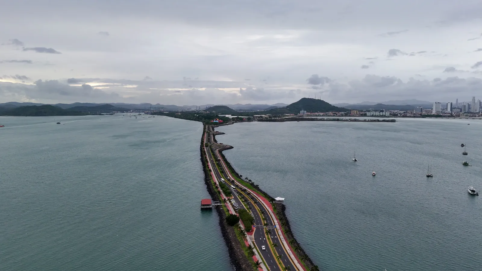
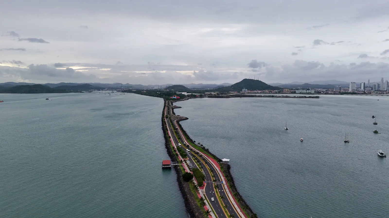
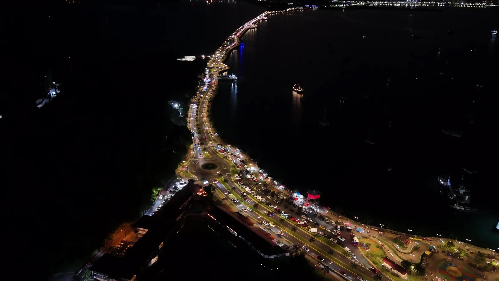
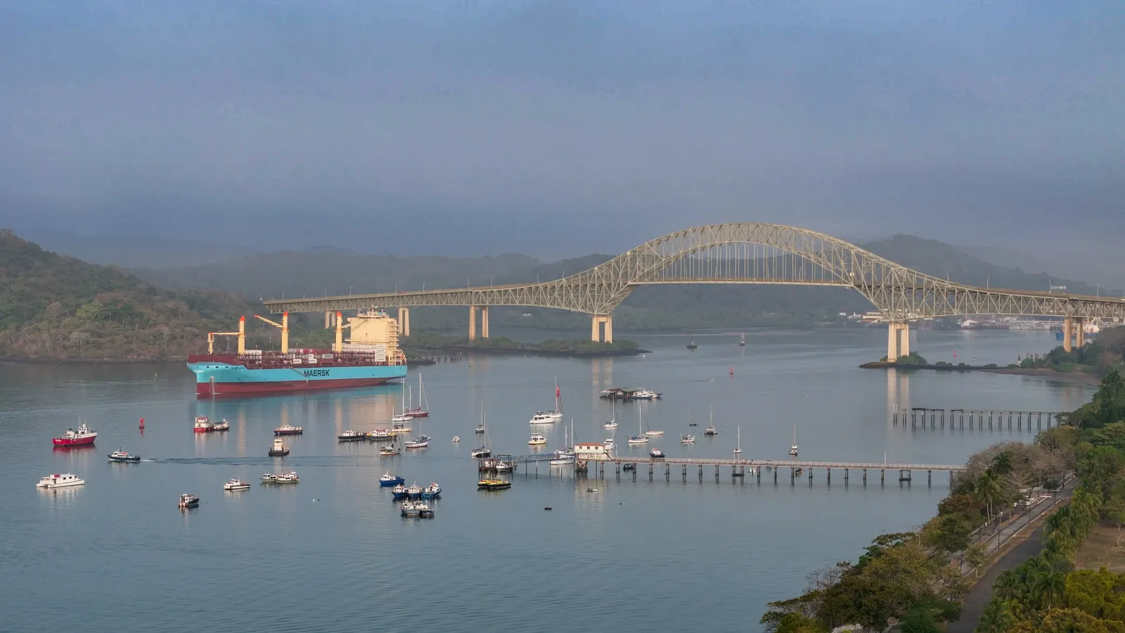
The causeway begins on the mainland, near the Canal's southern entrance, and extends over the water, linking the islands of Naos, Culebra, Perico and Flamenco in a line, with the Pacific and the Bridge of the Americas on one side and the bay and city skyline on the other. Its spine is a paved road with a sidewalk and separate lanes for pedestrians, runners and cyclists, lined with palms. Along the way are marinas, restaurants, shops and parking, plus specific attractions: near the entrance, the Biomuseo; in the Naos/Culebra sector, the STRI's Punta Culebra Nature Center, with a beach and a strip of dry forest.
Nature
Though it's a built structure in a fully urban setting, the causeway opens onto a living marine-coastal environment: the Pacific, the Bay of Panama and the islands it strung together. Its most notable documented natural site is the Punta Culebra Nature Center, run by the STRI, which preserves a strip of tropical dry forest and a rocky, sandy shore. The former military base's long-restricted access actually helped protect that habitat. Along its trails you may spot free-roaming wildlife such as green iguanas, sloths and raccoons, plus resident and migratory birds; the center also keeps exhibits on frogs, turtles and marine life. No sighting is guaranteed —it depends on the day, the hour and luck. The species noted here belong to the nature center's grounds, not to the causeway as a whole.
 Panamá